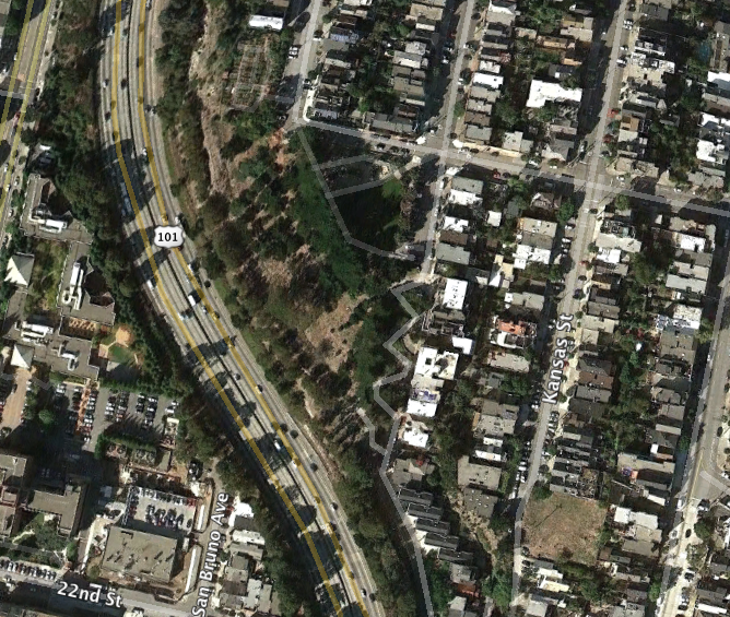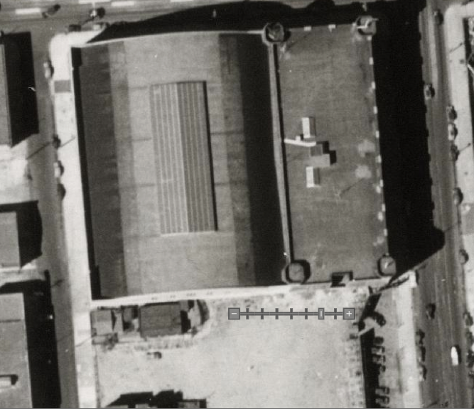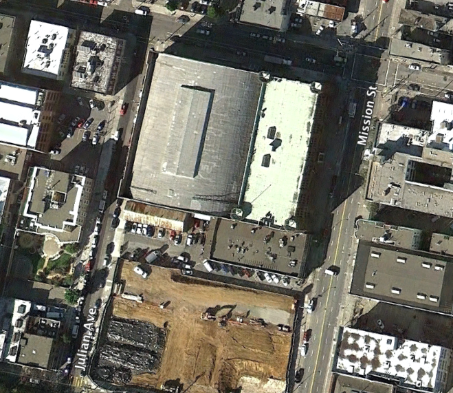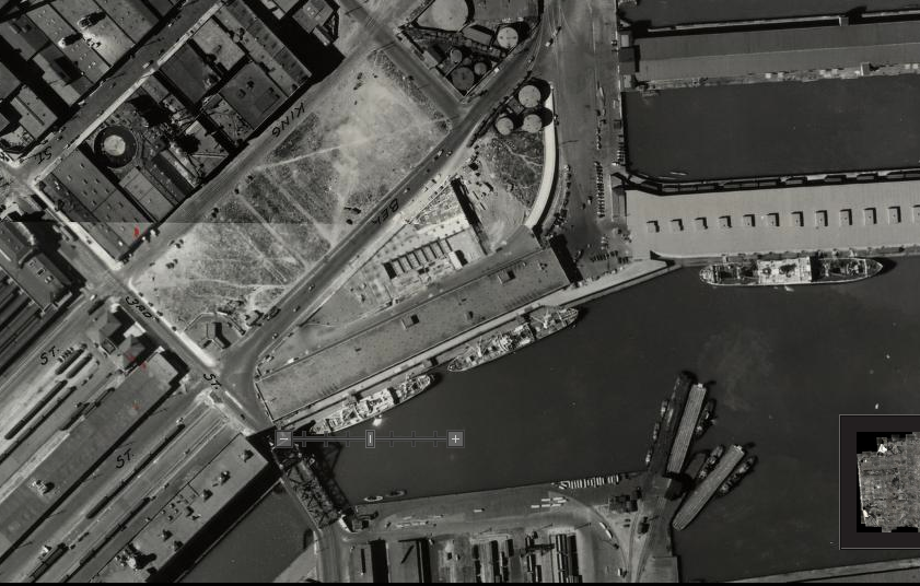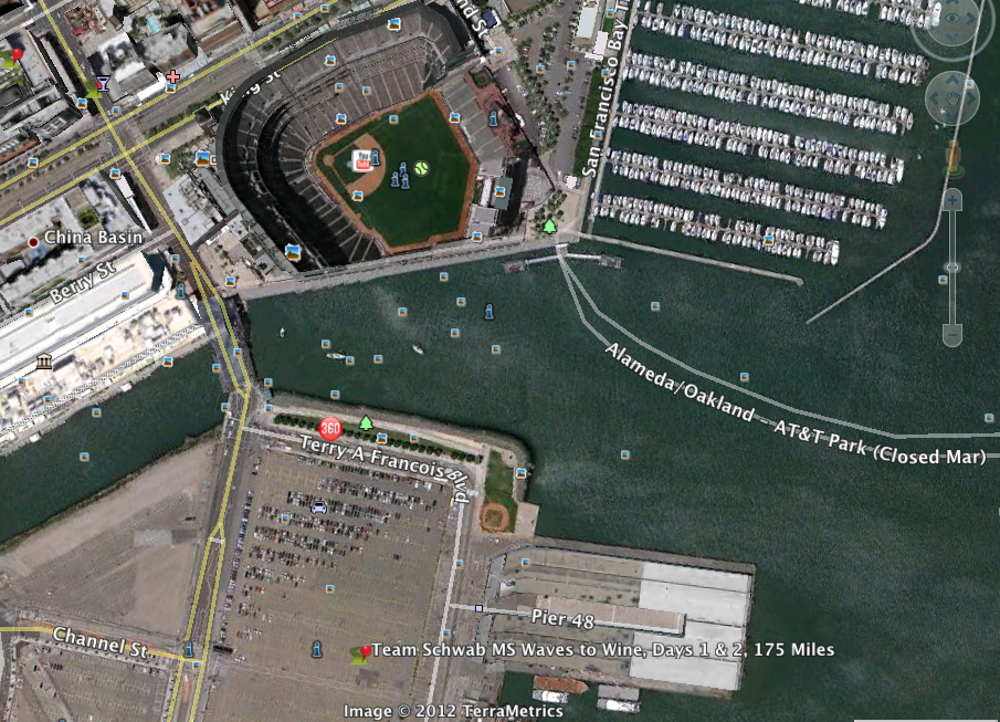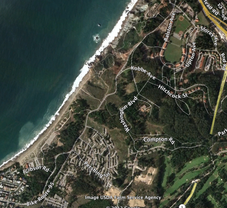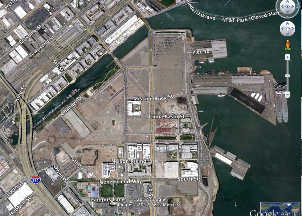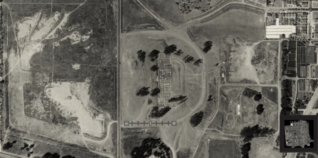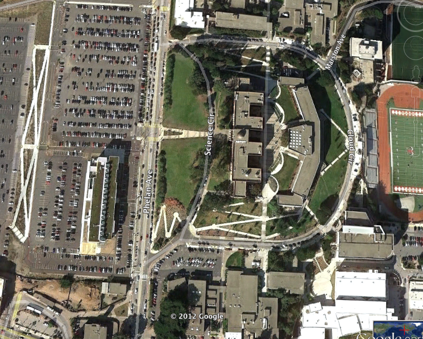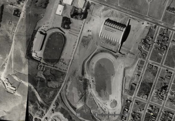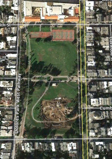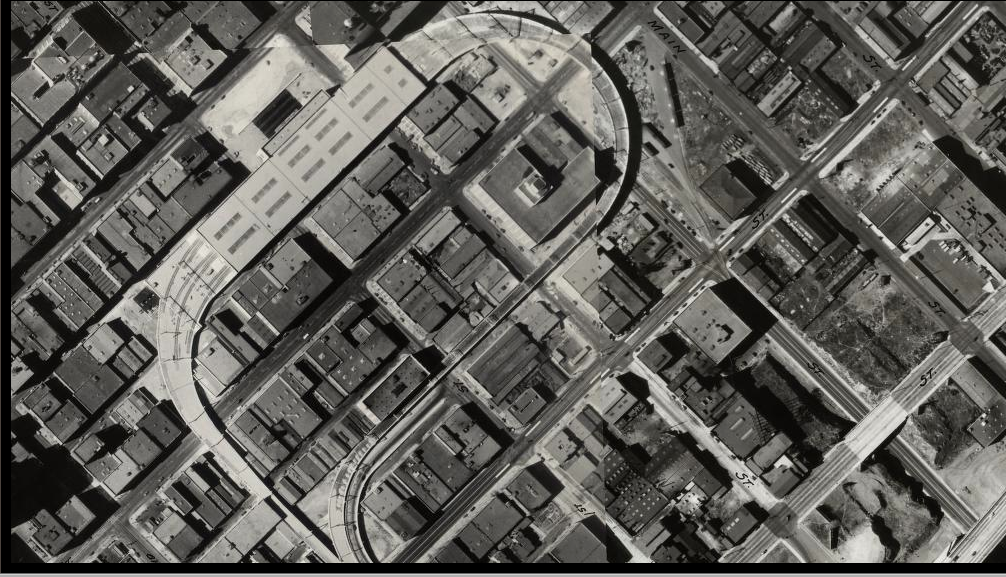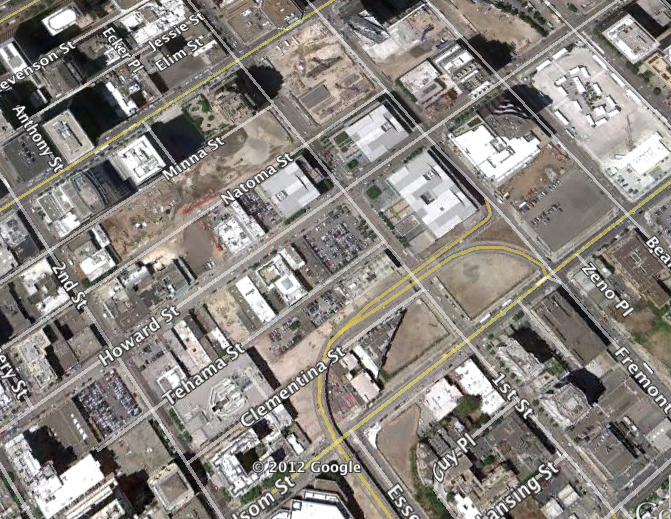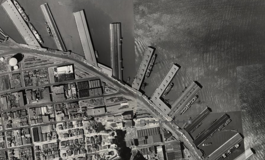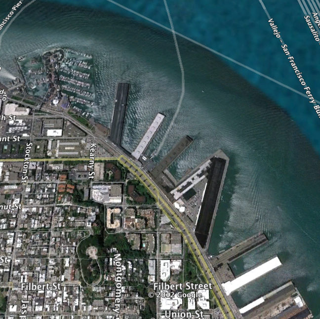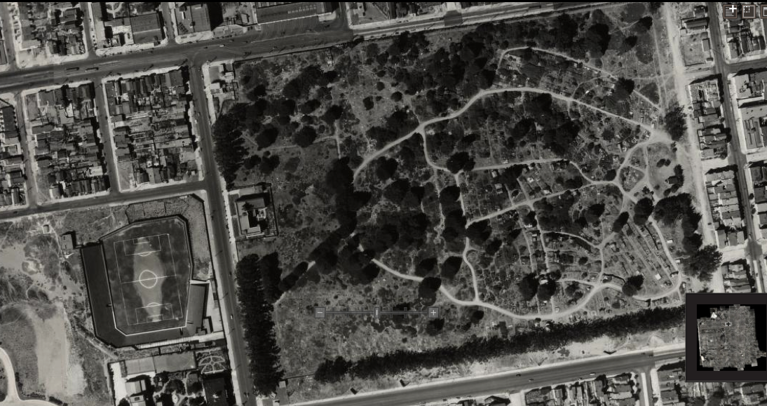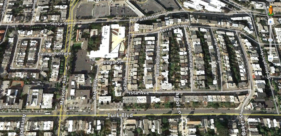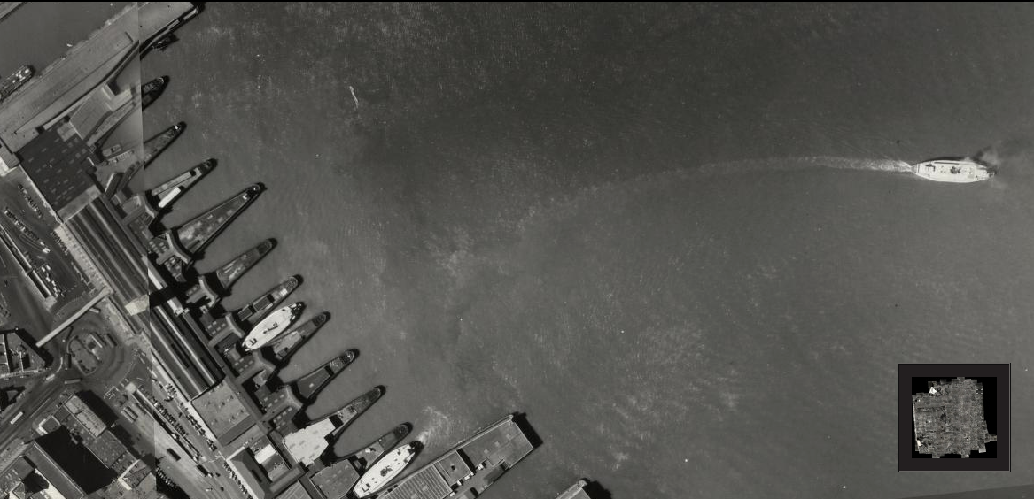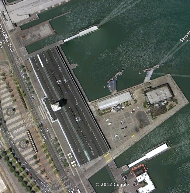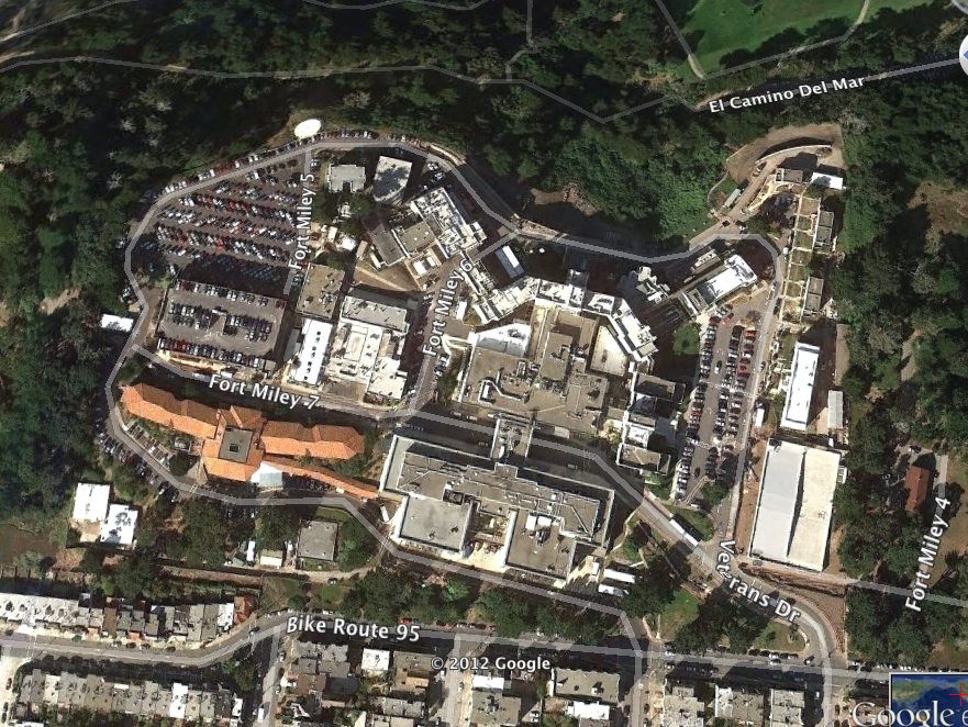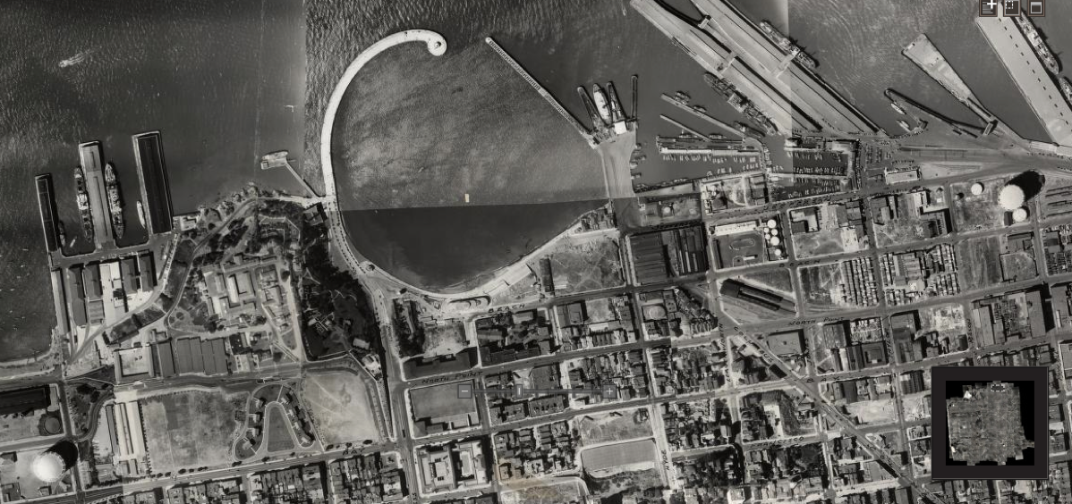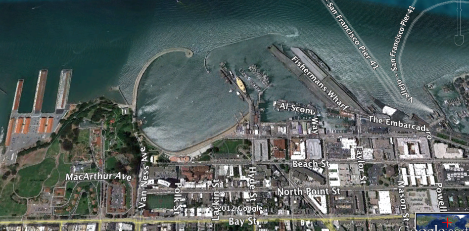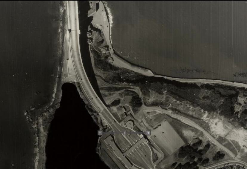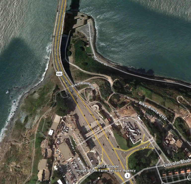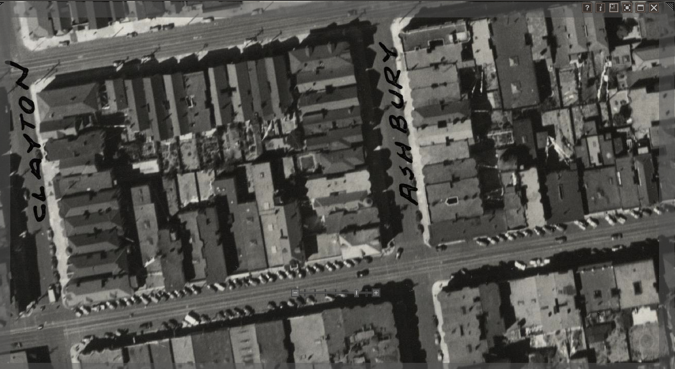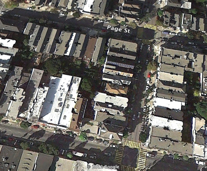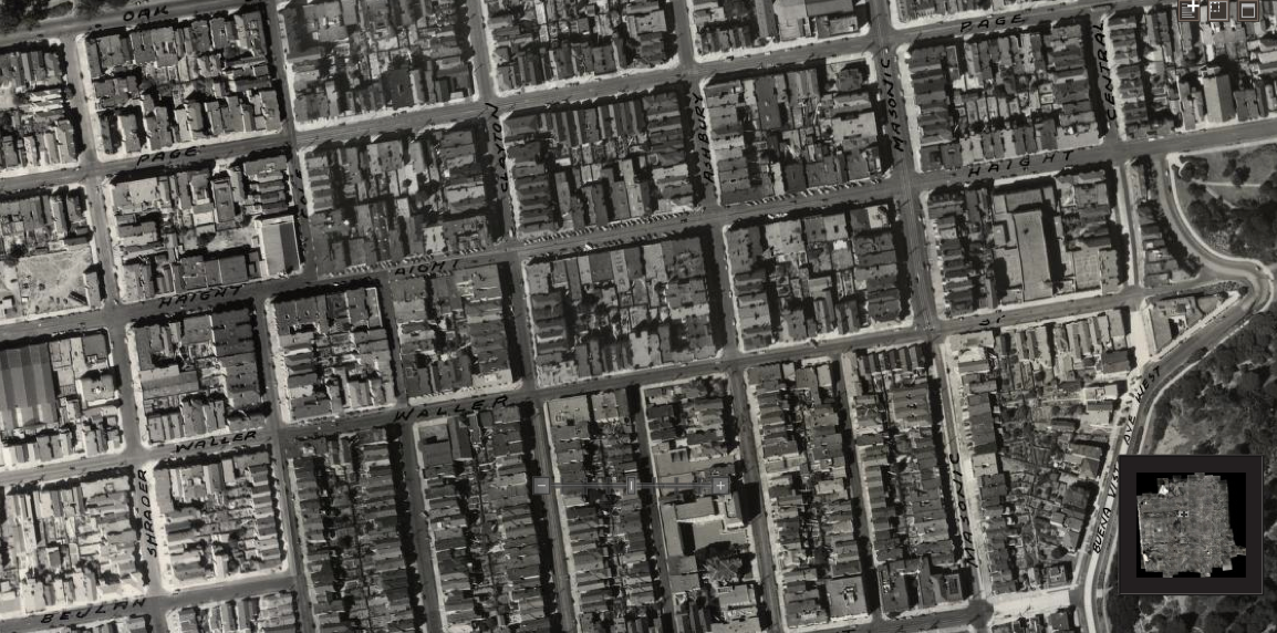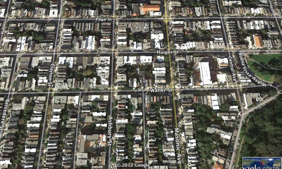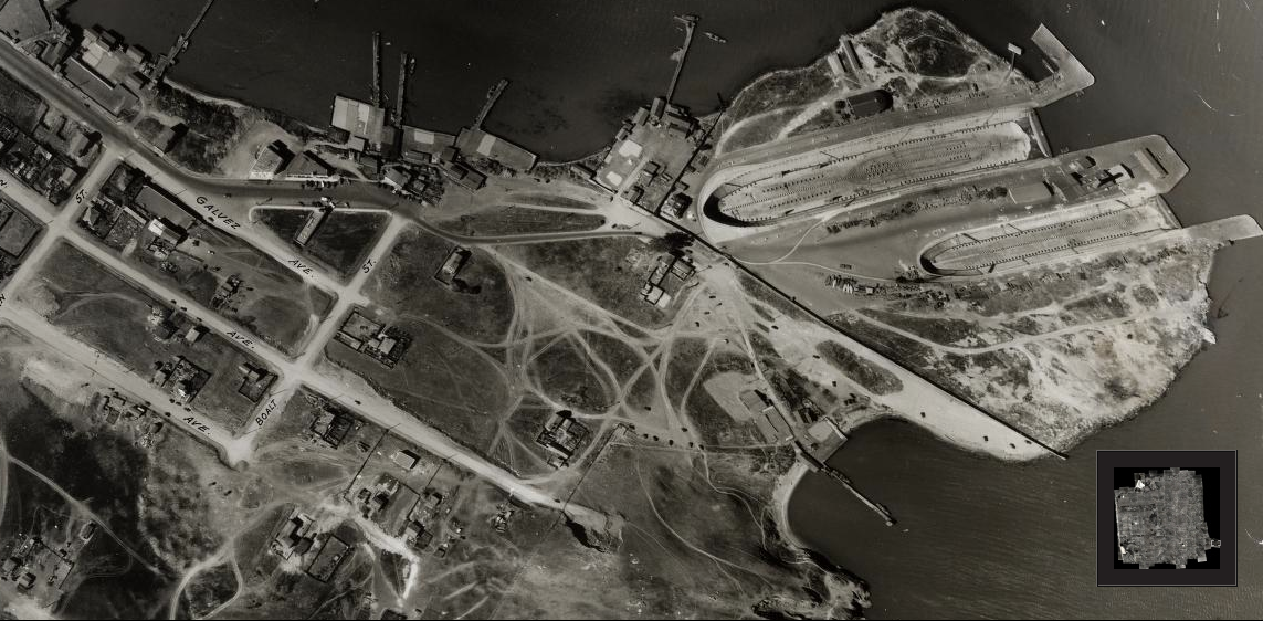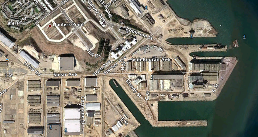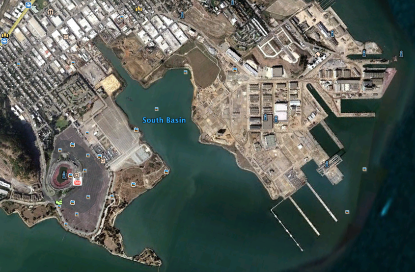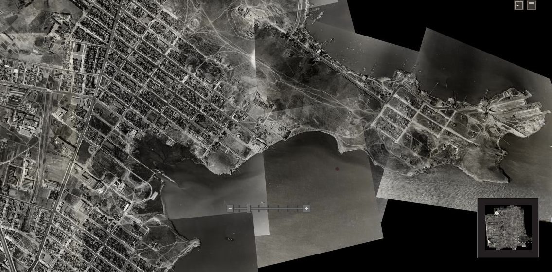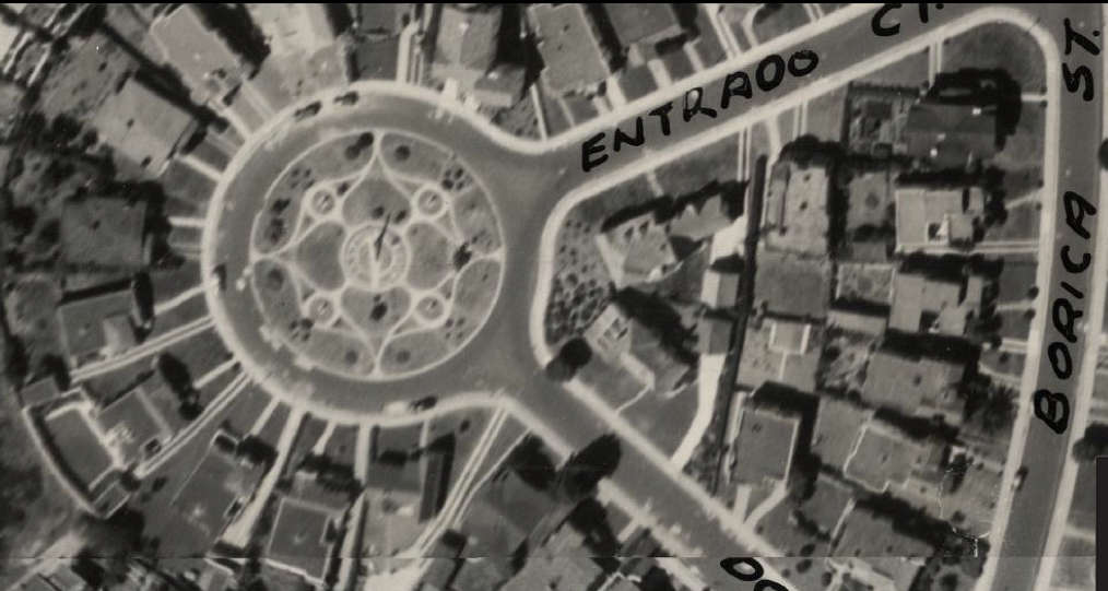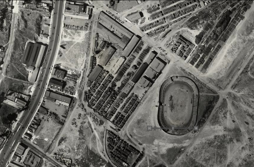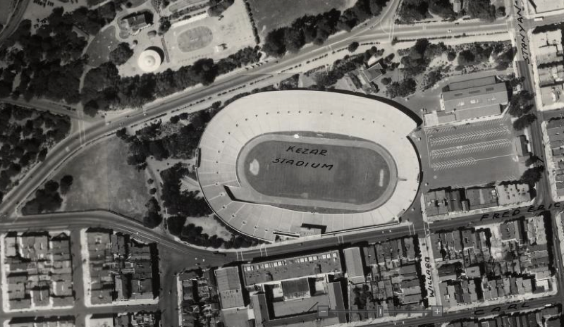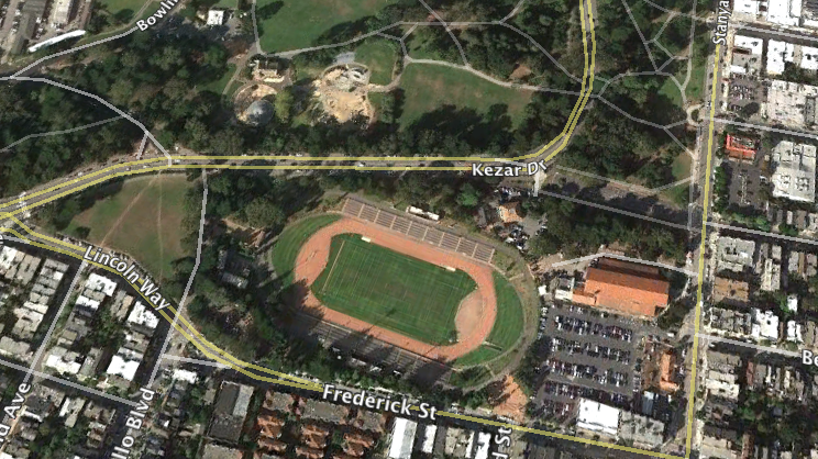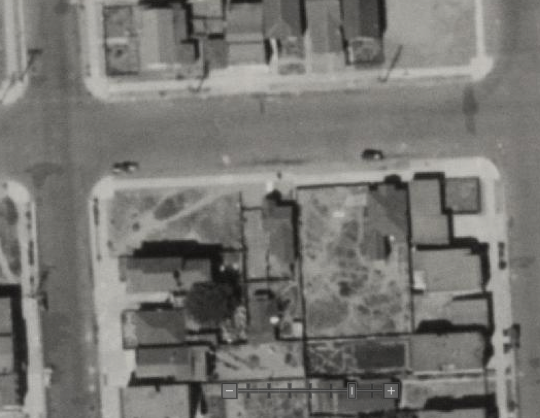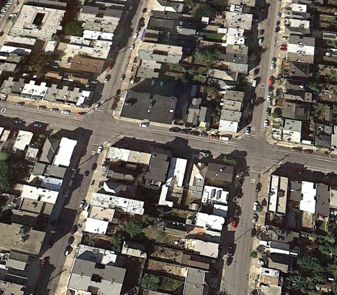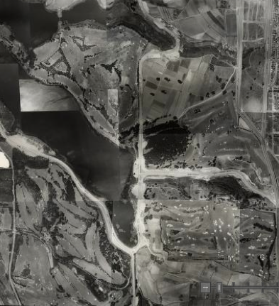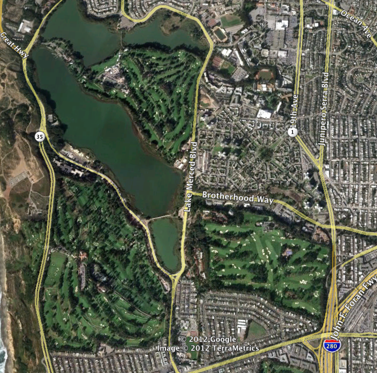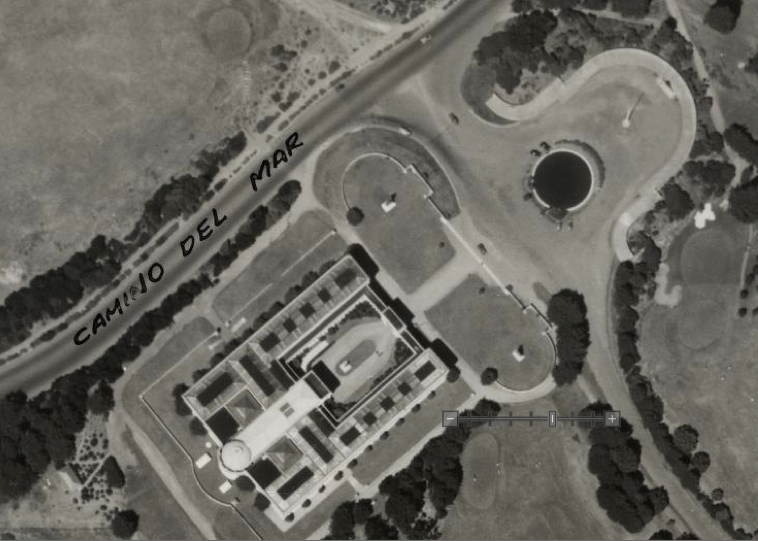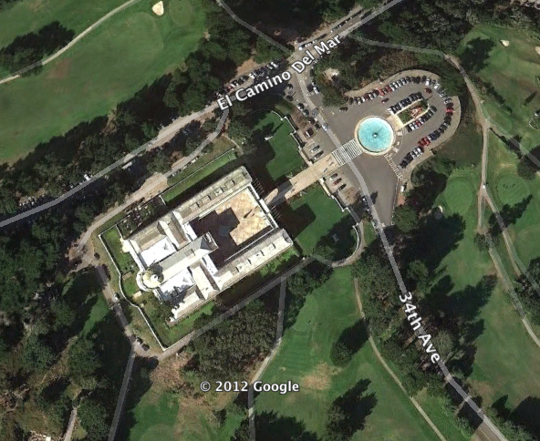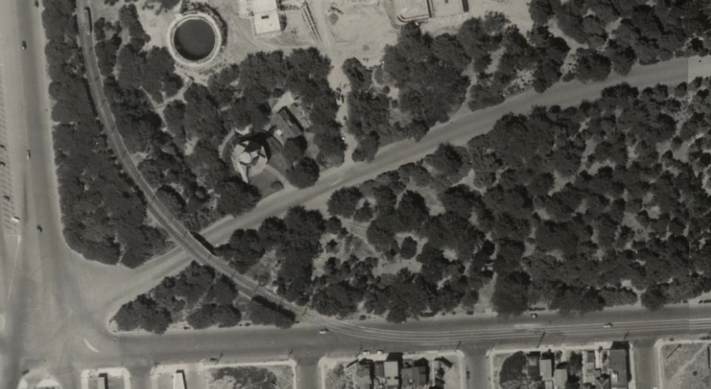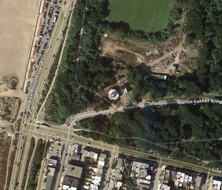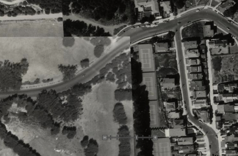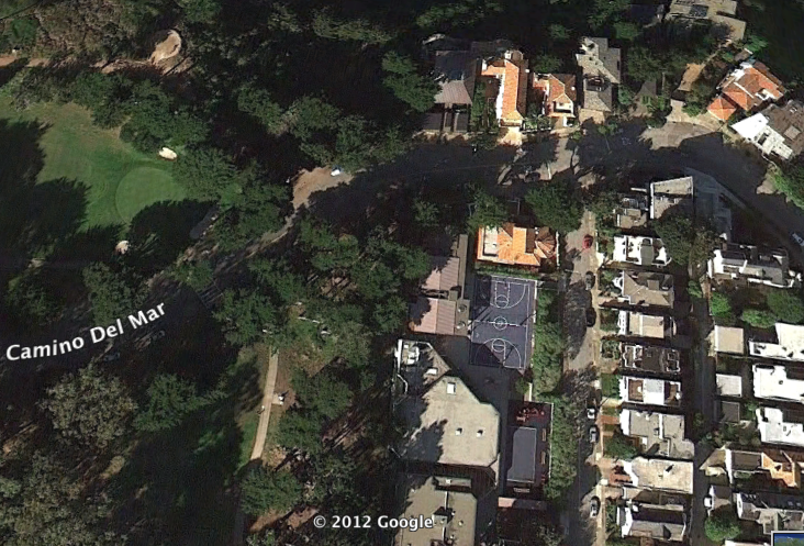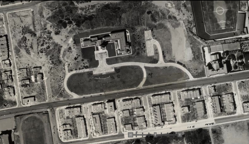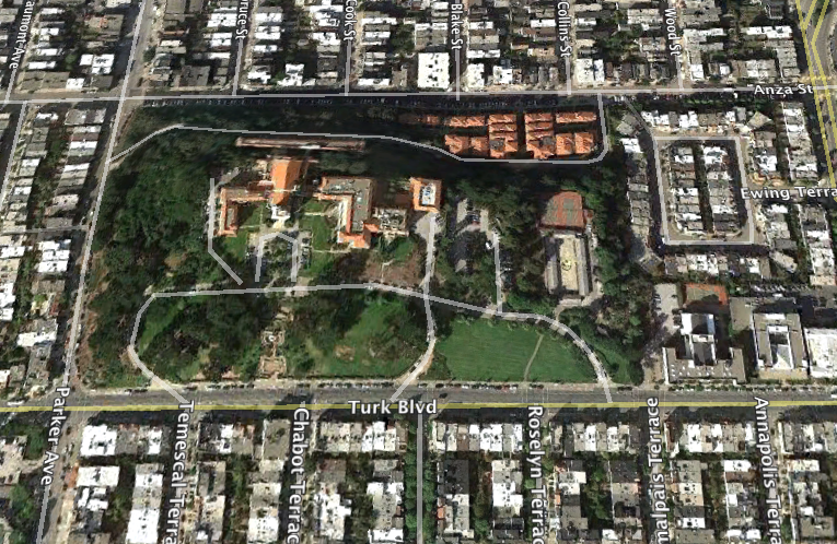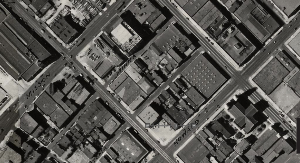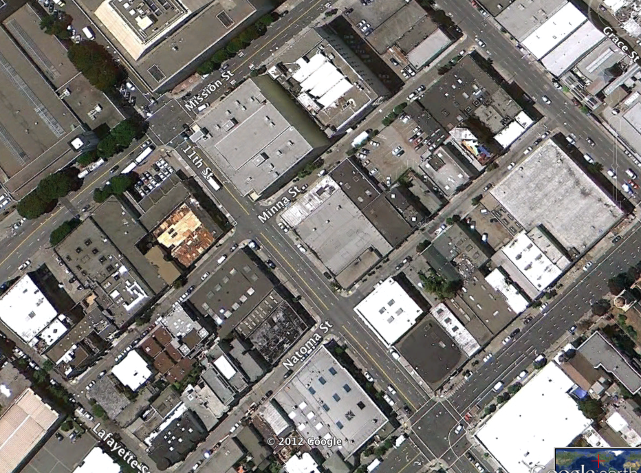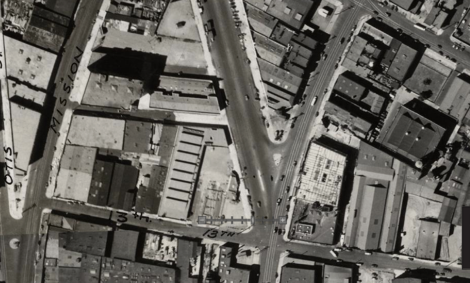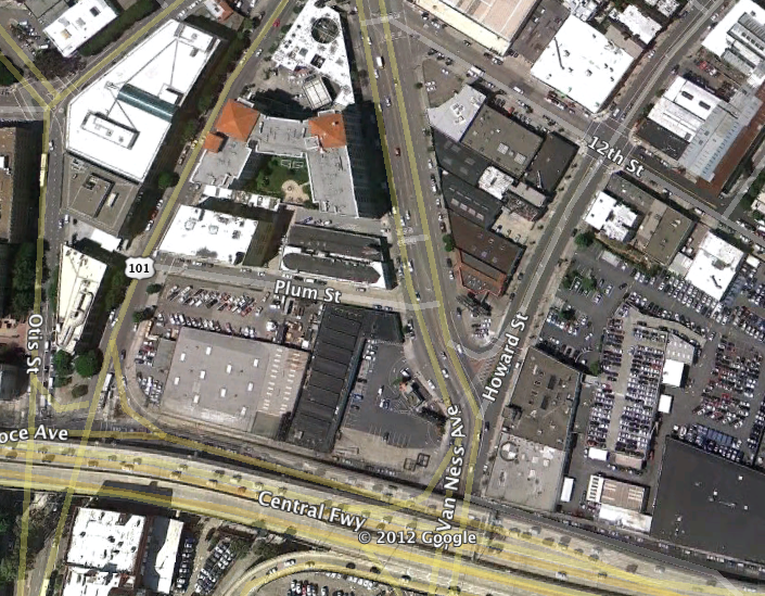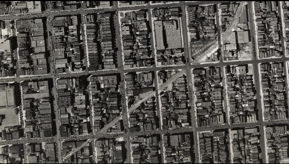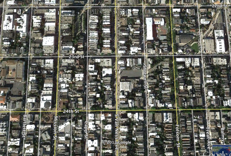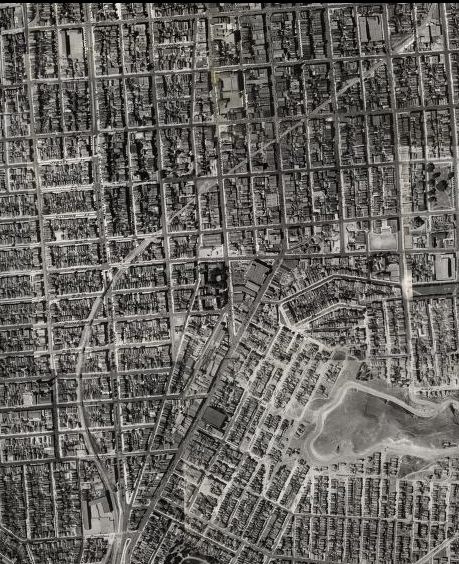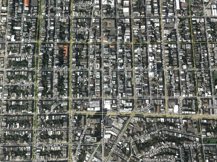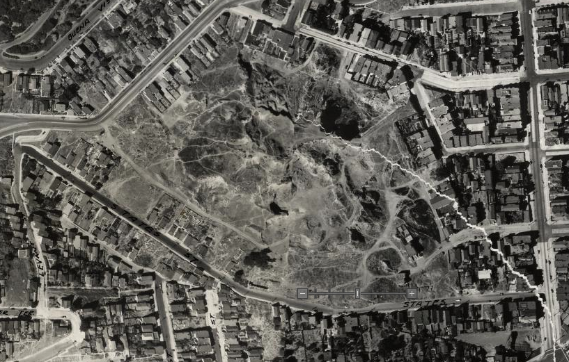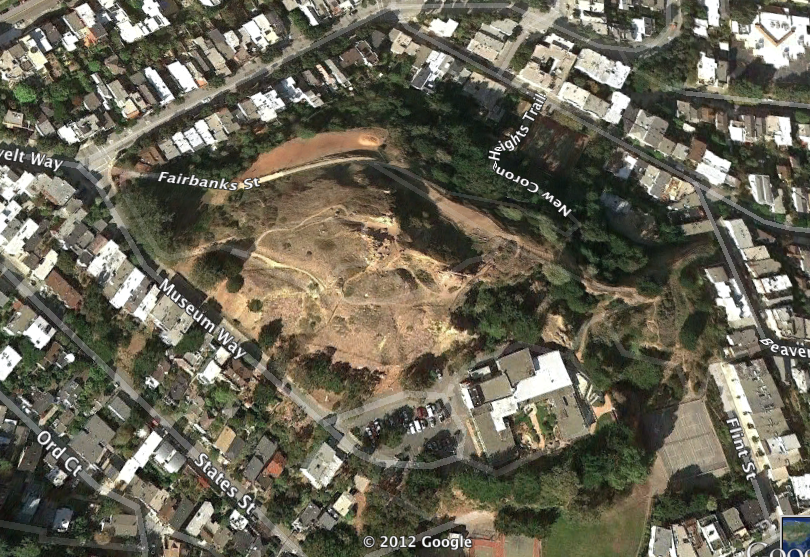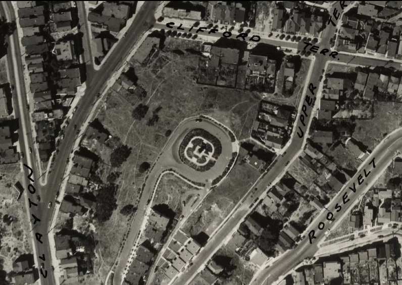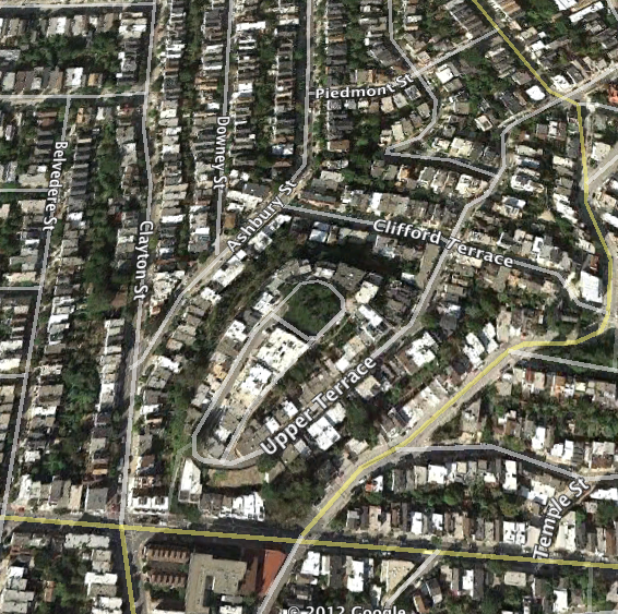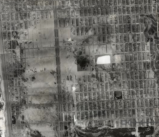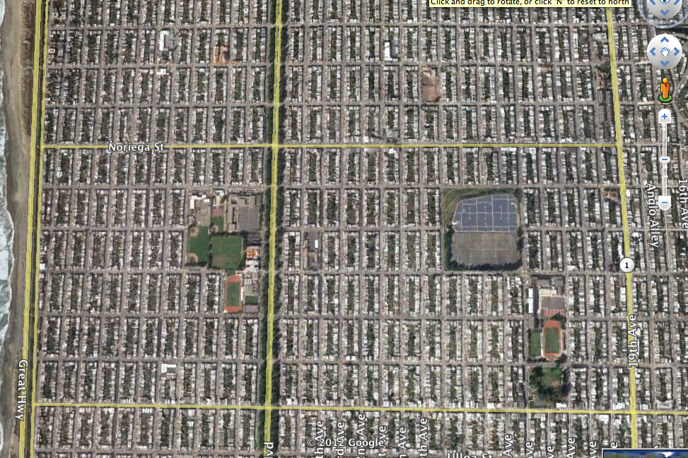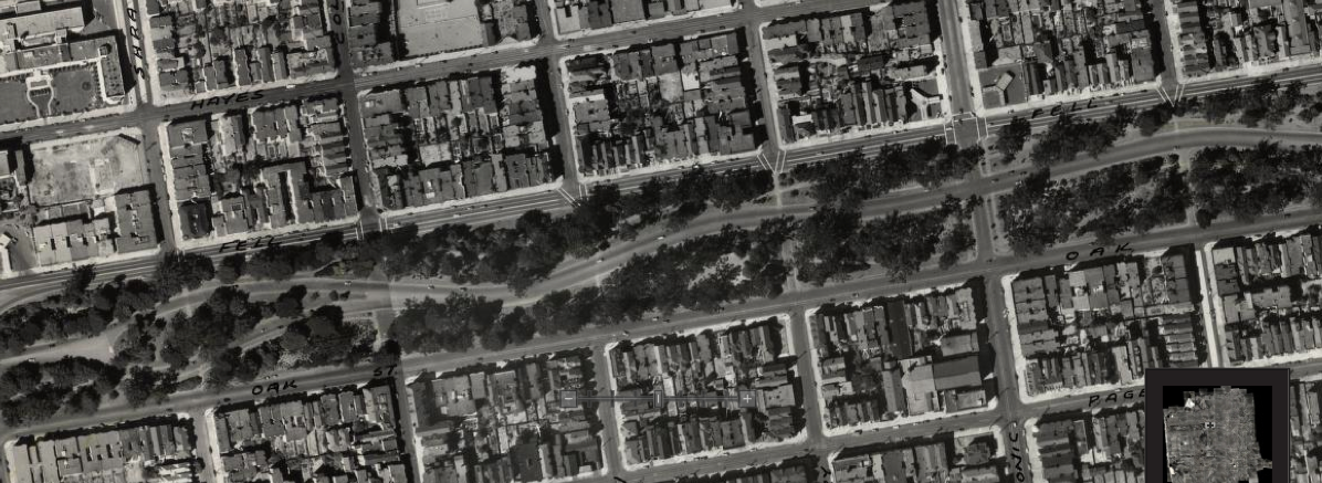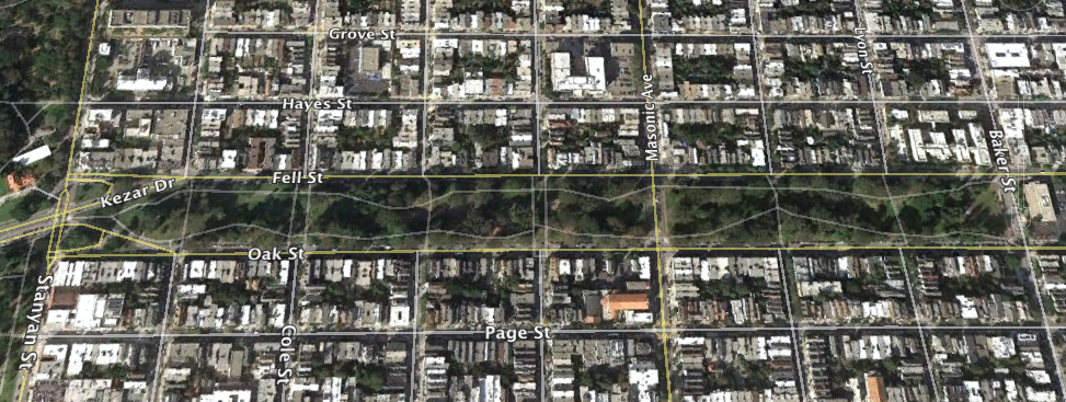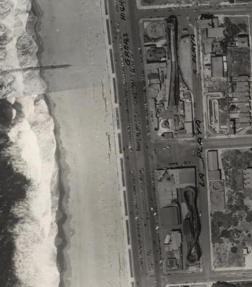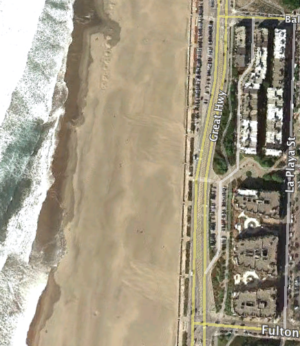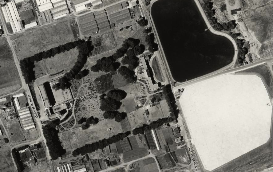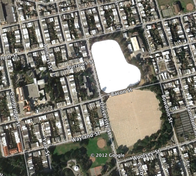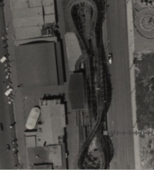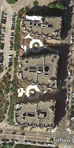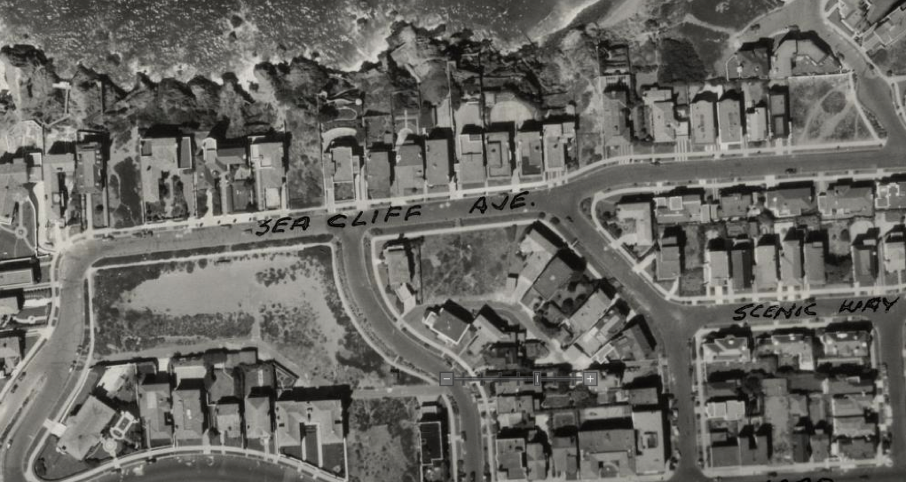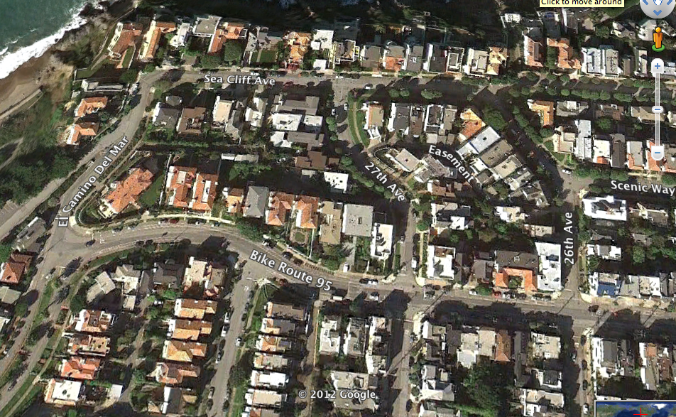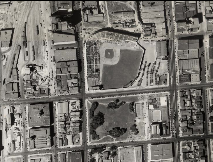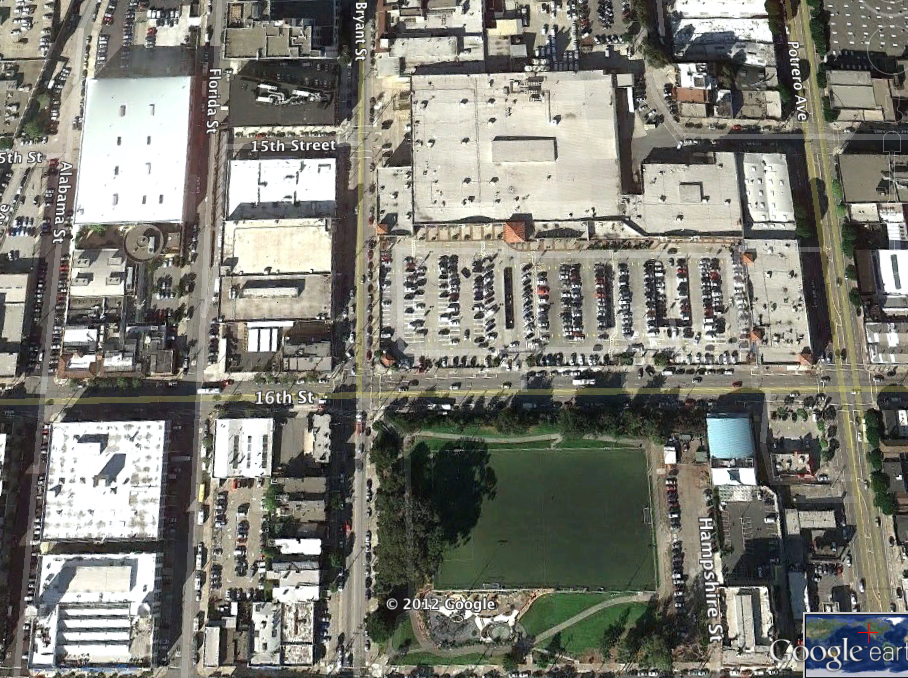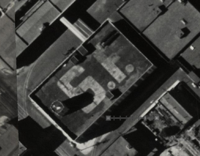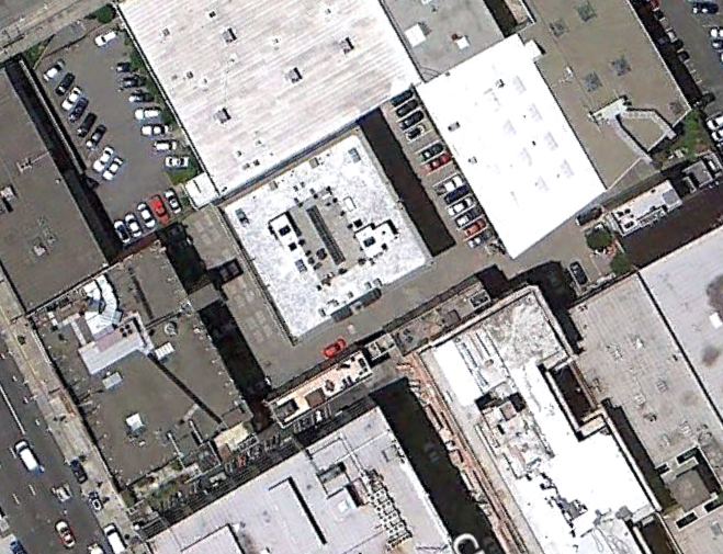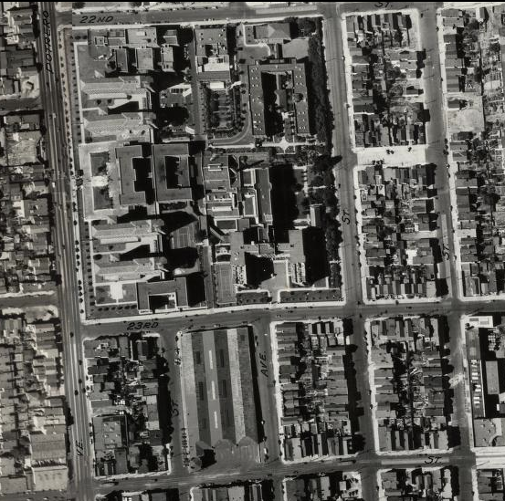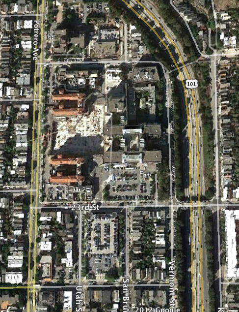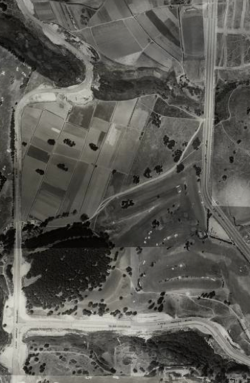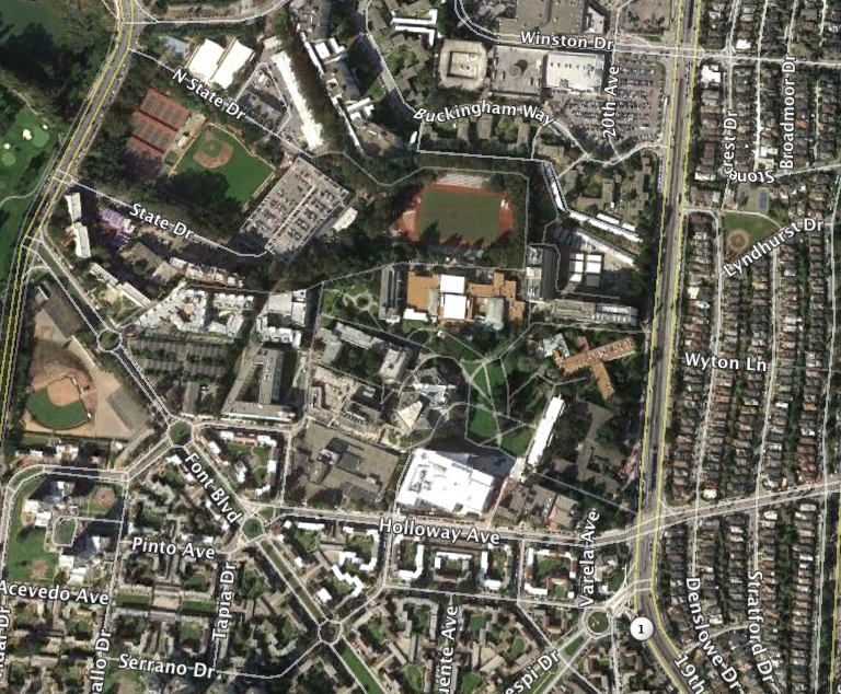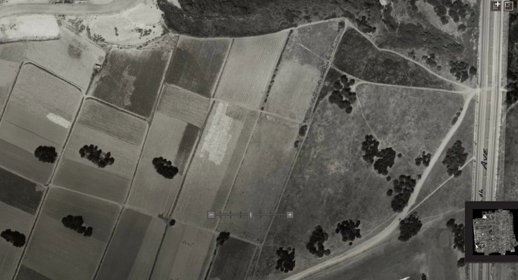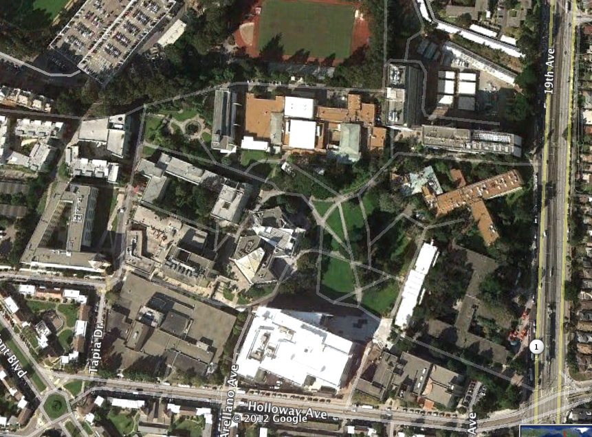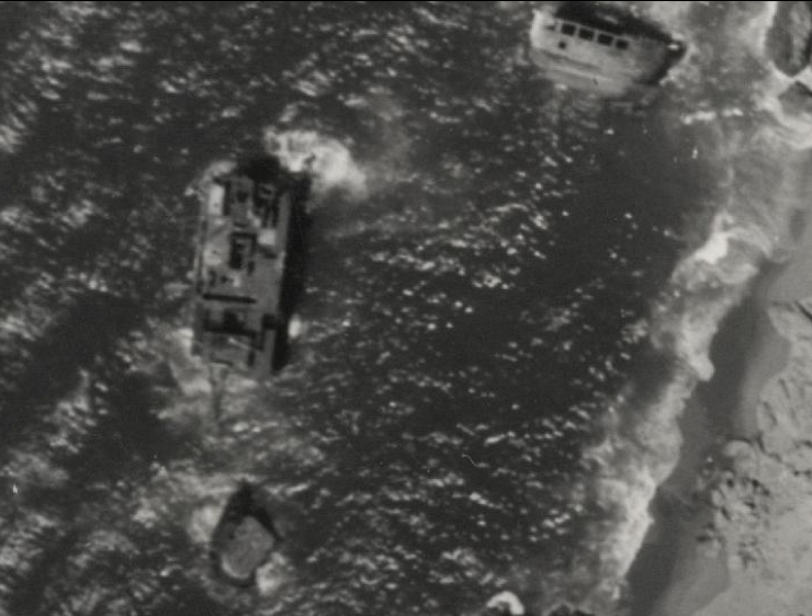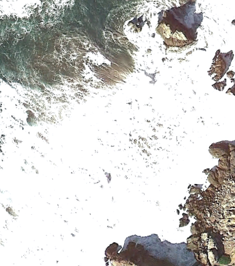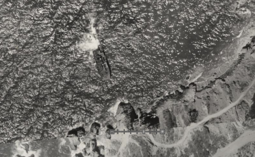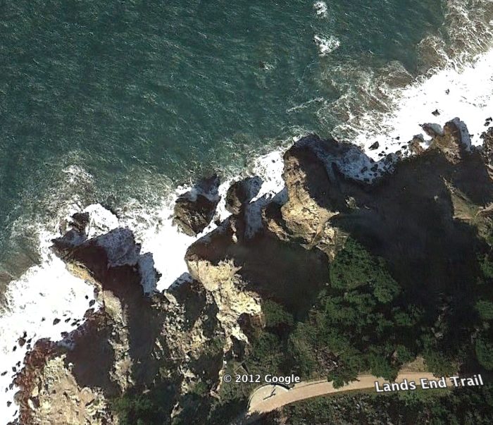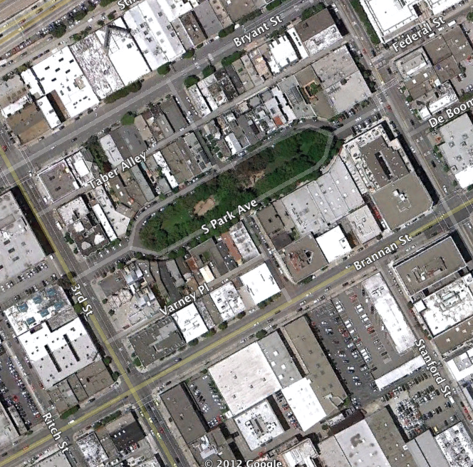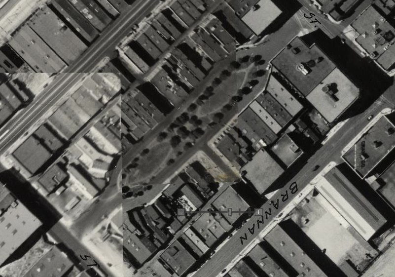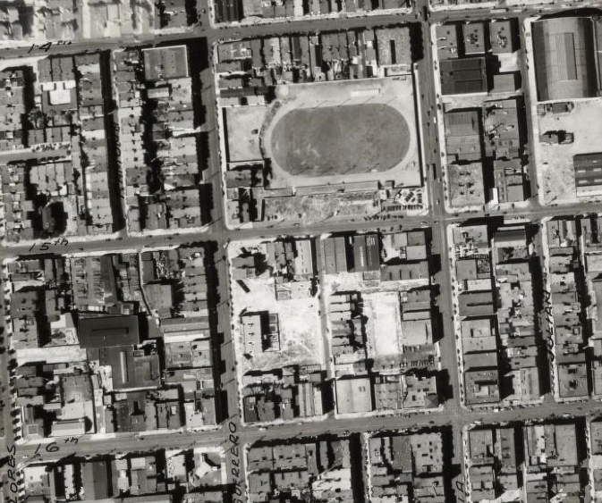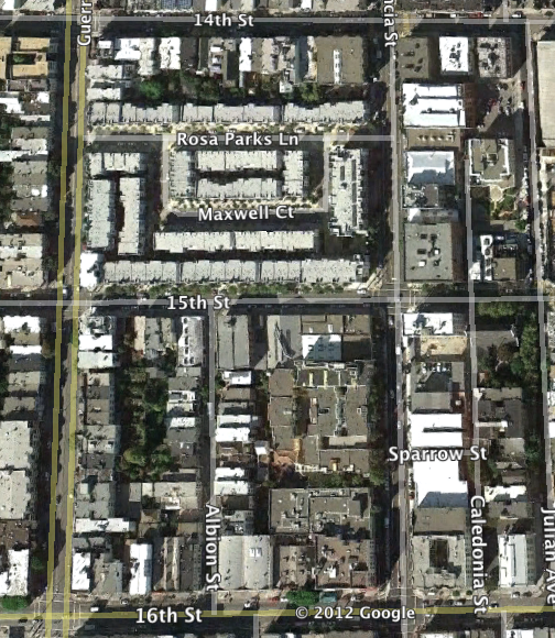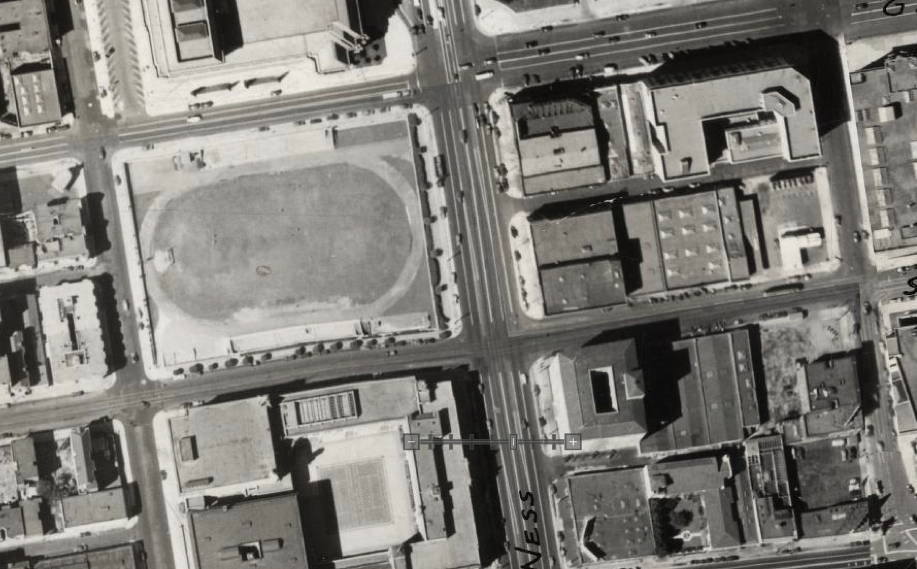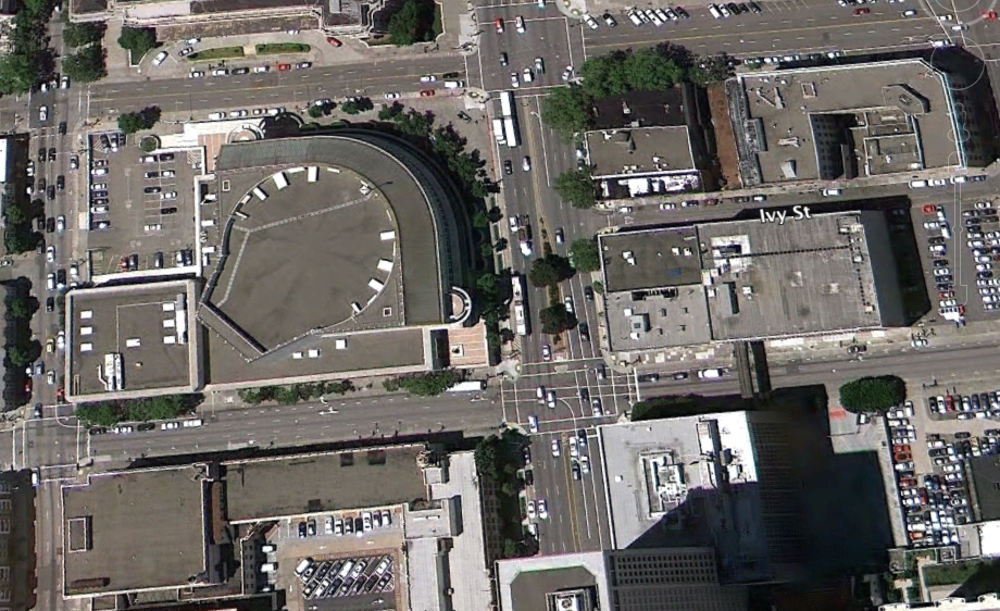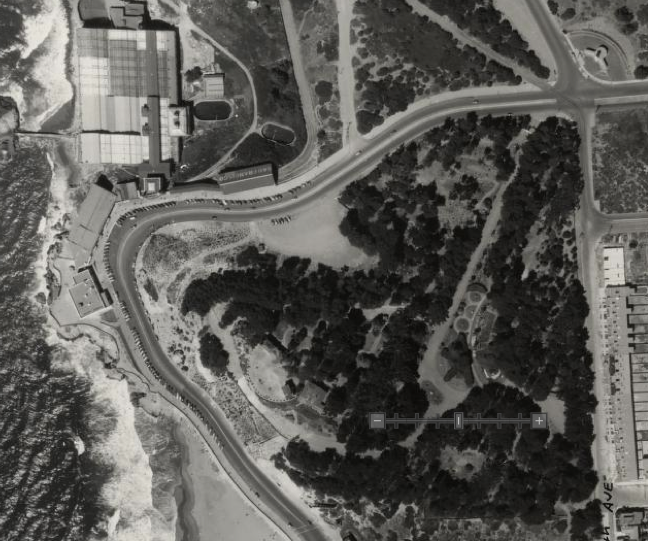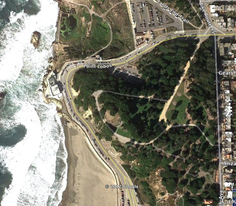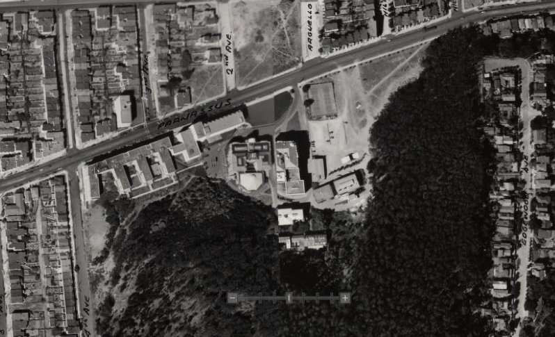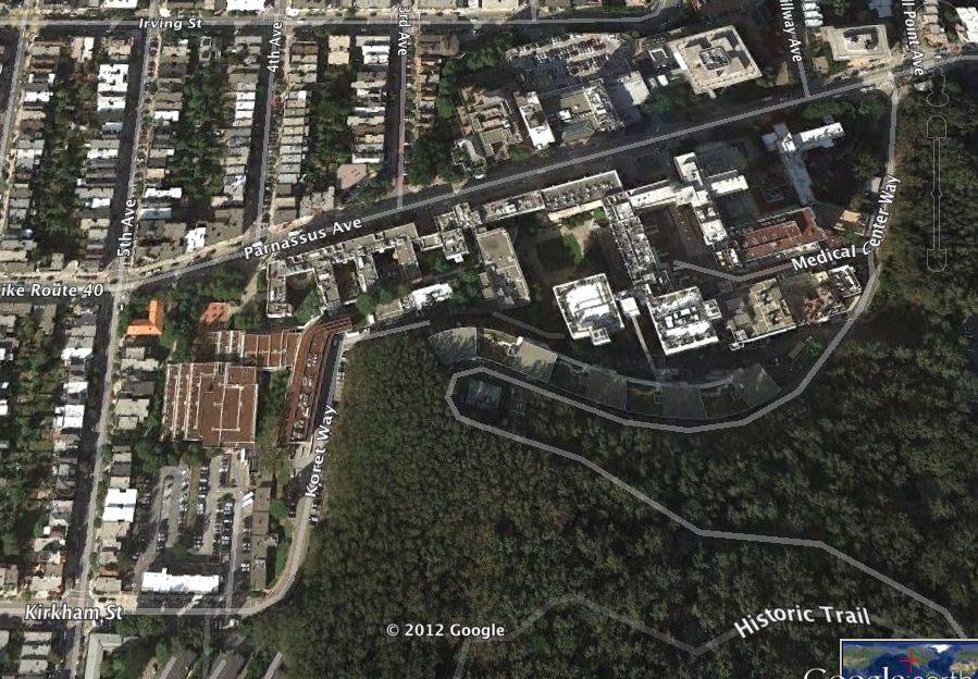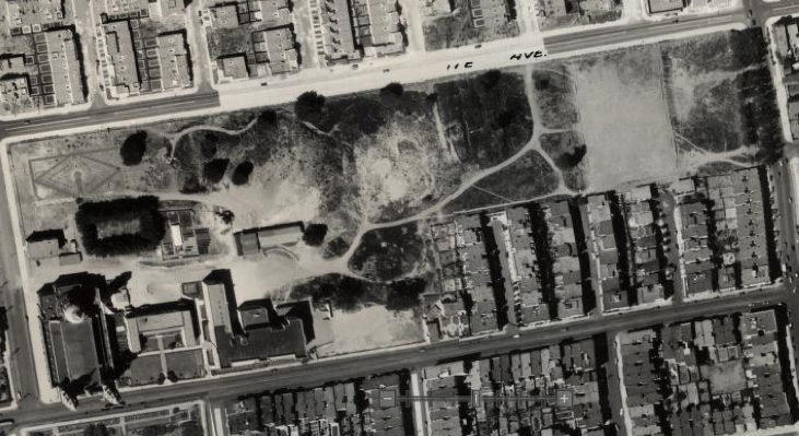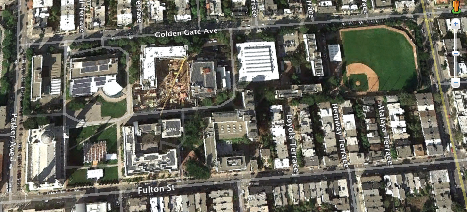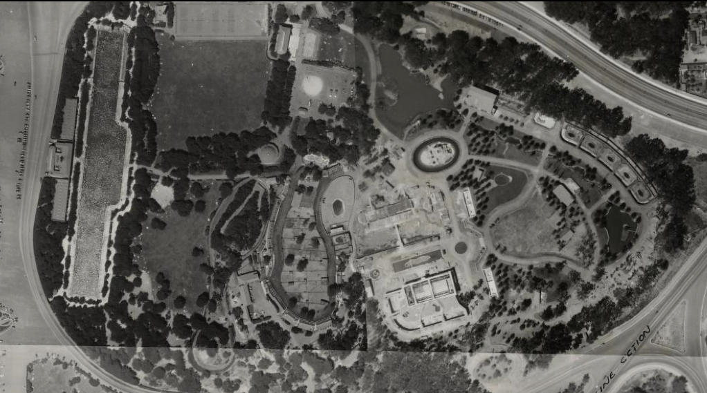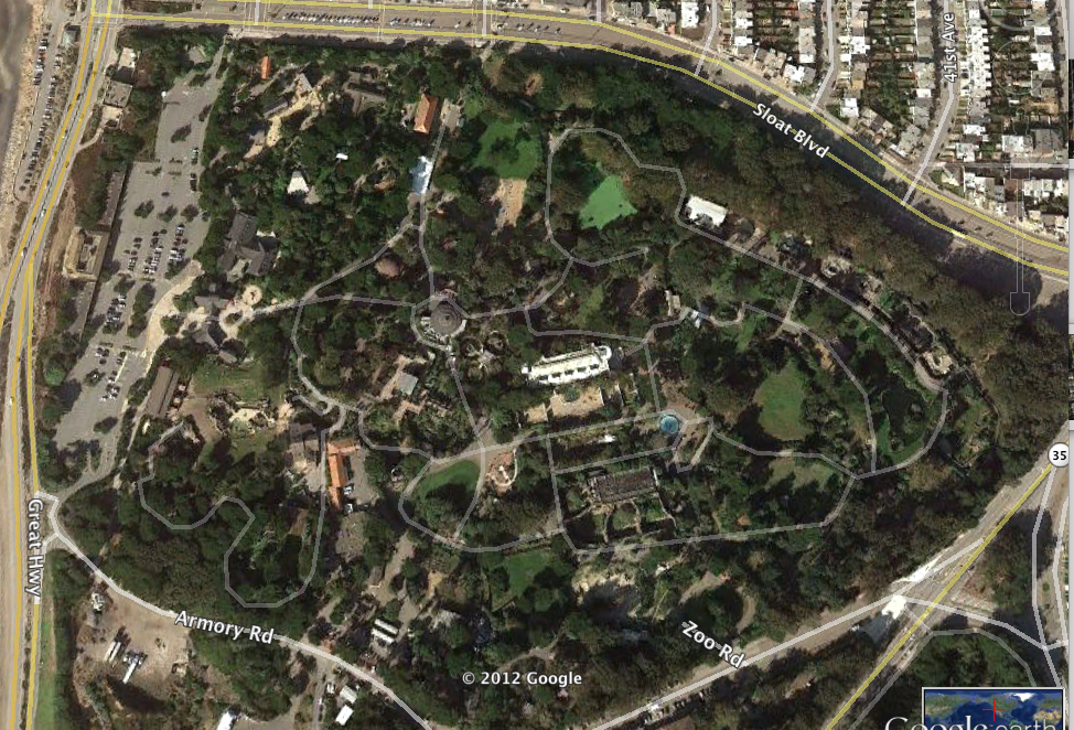
Here’s a side-by-side comparison of San Francisco neighborhoods and landmarks from a low-level aerial photo survey from 1938 and Google Earth in 2012 at roughly the same scale.
It took me about 4 days to create and you’re welcome to share it as you may.
The 1938 photos are from an aerial survey book that map maven David Rumsey scanned and assembled as a highly detailed and zoomable map:
http://www.davidrumsey.com/luna/servlet/s/974mtn